3D Street Level Imagery - Georeferenced and high-resolution
Simplifying complexity
Our infra3D system solution comprises the mobile mapping system, processing software components and a cloud service, which facilitates flexible distributed data evaluation and use via infra3D service.
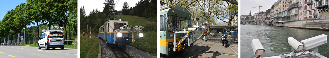
The Mobile Mapping System (acqusition system)
Our specially developed mobile mapping system can be used on various carrier platforms and is therefore very versatile. Raw images are captured with their applicable navigation data. They are processed in preparation for the 3D mono image sequences.
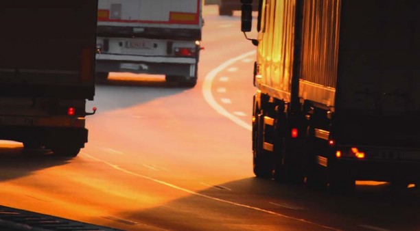
Special benefit: since data collection (mobile mapping) is carried out by measuring vehicles moving in traffic, the occupational safety for those involved is extremely high compared with usual field data collection. Also, no traffic obstructions arise. The infra3D collection system ensures the highest possible safety and efficiency.
Processing software components
Our processing software components turn the raw images and navigation data captured by mobile into georeferenced 3D mono image sequences. The infra3D image data base produced in this way provides a high resolution, digital, comprehensive image of the recorded infrastructure corridor. The detailed digital image faciltates virtual surveying and uniquely precise measurements.
Cloud service
The cloud service offers maximum flexibility. The 3D image data base hosted in the cloud is available at any time to various clients and interfaces and facilitates distributed flexible use. So it can be accessed direct from your work place or when you are out.
Overview of process chain

Curious?
Find out more about iNovitas’ product portfolio and the sector-specific configurations.
More about infra3D service